
Underground Imaging Systems

Glavniy G20 Imaging System

Ajax Gamma

DEDSIS AXION Underground Imaging System

DEDSIS DSM-X Underground Imaging System
Okm Exp 4500 Pro Plus (Full)
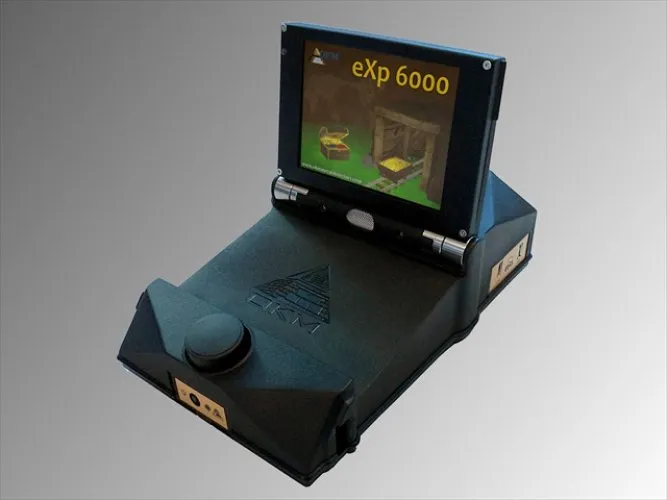
Okm Exp 6000 Professional
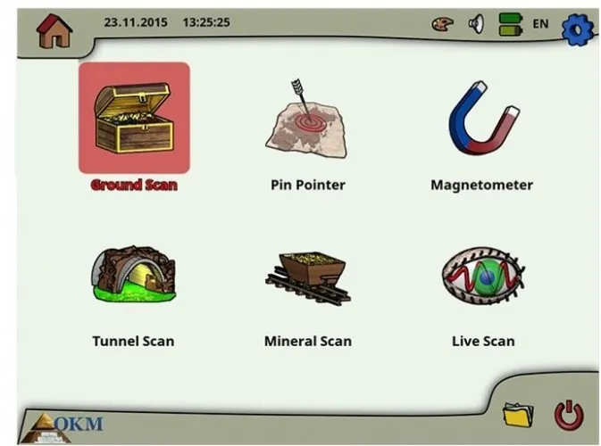
Okm Exp 6000 Professional Plus
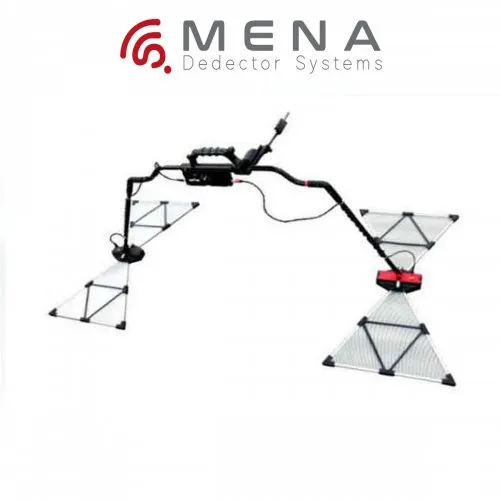
Okm - Gepard Gpr
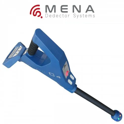
OKM Rover C4
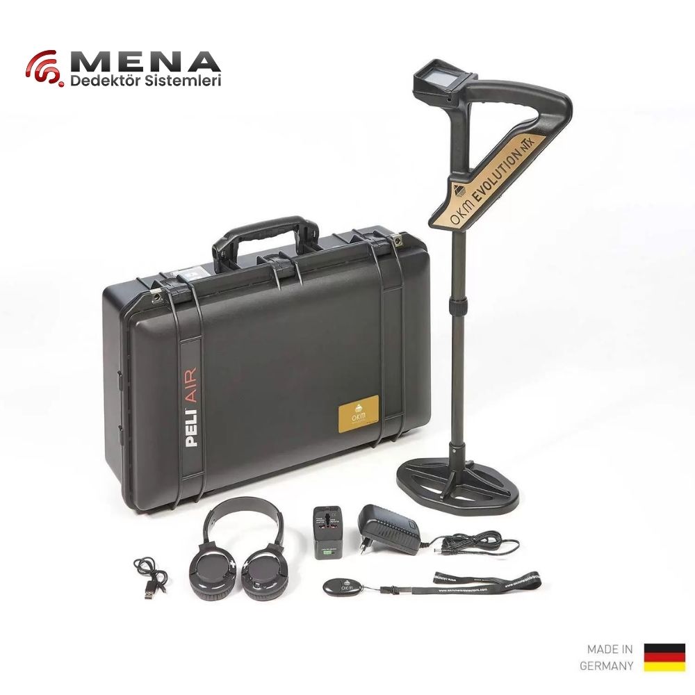
OKM - EVULOTION NTX
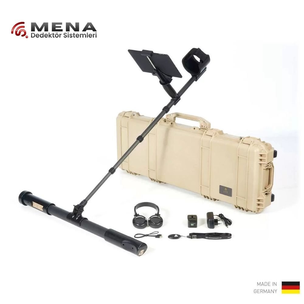
OKM - FUSION PRO PLUS
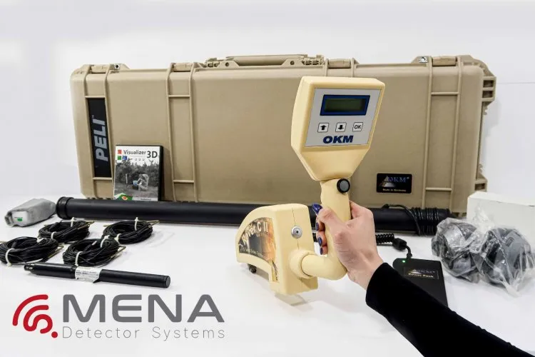
Okm Rover C2 Underground Imaging System
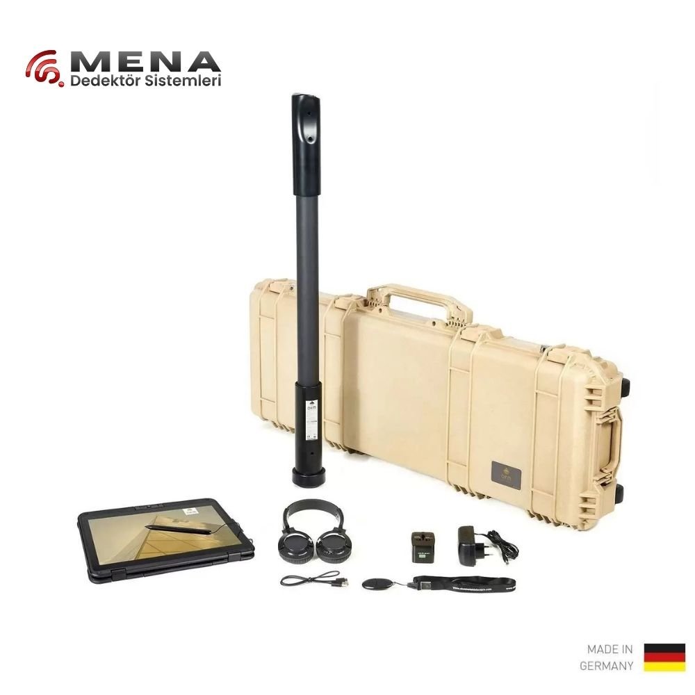
OKM Fusion Pro
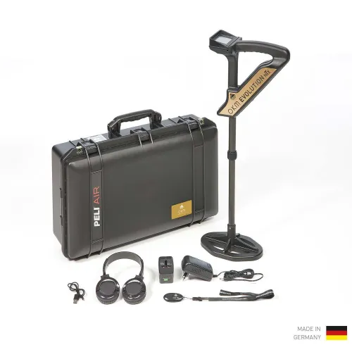
OKM Evolution NTX

[NEW] OKM Rover UC – 2022
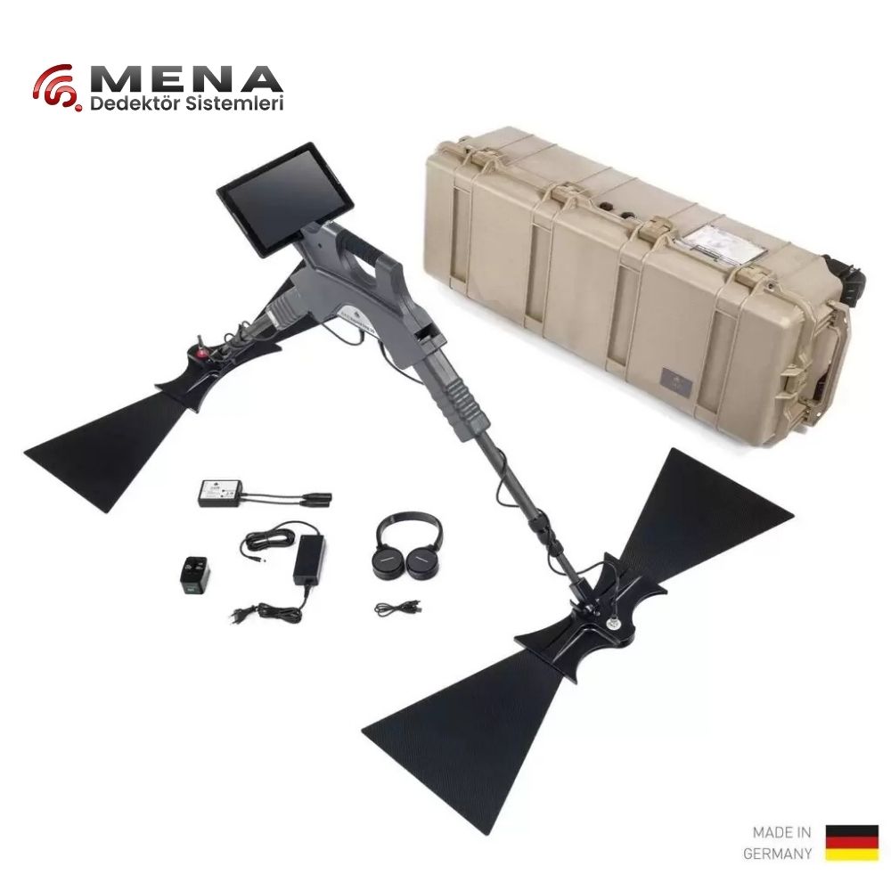
OKM Gepard GPR 3D
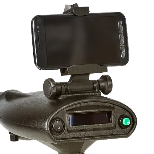
OKM Bionic X4
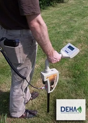
Okm - Rover C II New Edition
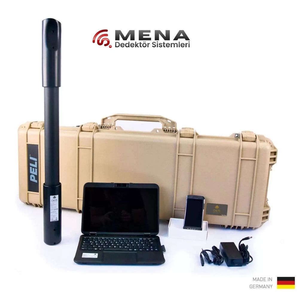
OKM Fusion Light
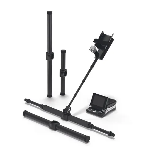
OKM eXp 6000 Pro Plus
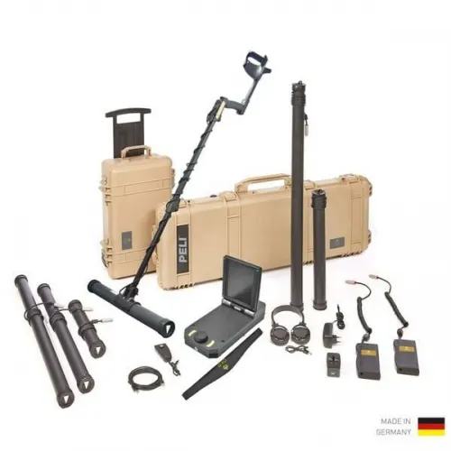
OKM eXp 4500 NT Pro Plus
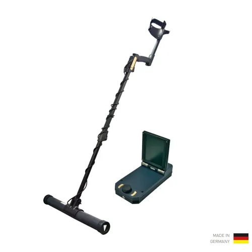
OKM eXp 4500 NT Professional
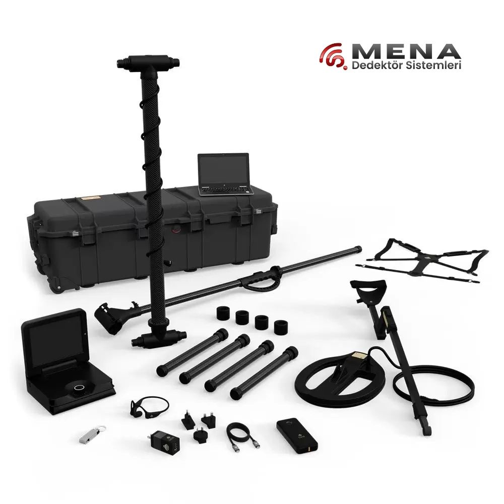
OKM eXp 7000 Professional Plus

Mala Ramac
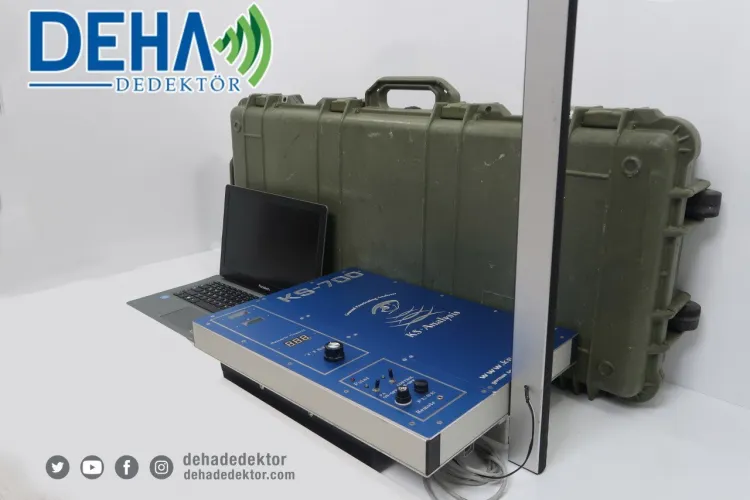
Ks 700 Underground Imaging System (Second Hand)
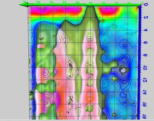
Ks 700 Underground Imaging
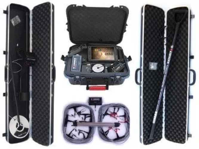
Geo Examiner Full Set
Geo Examiner Standard Package
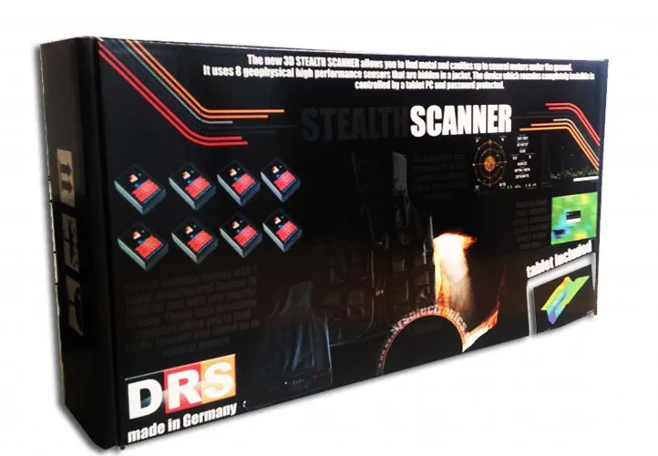
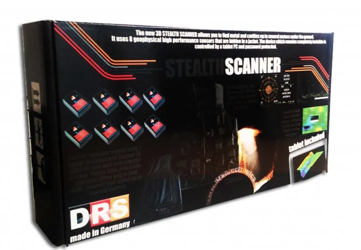
DRS 3D Stealth Scanner Underground Imaging
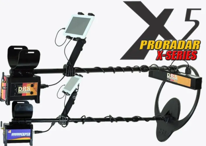
DRS ProRadar X5
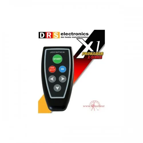
DRS ProRadar X1
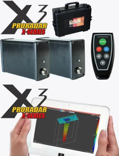
DRS ProRadar X3
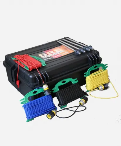
Drs Ars Water System
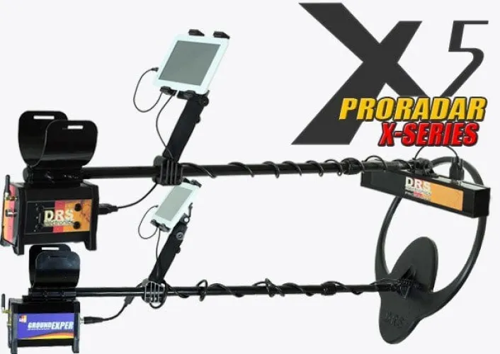
Drs Pro Radar X-5

Drs Pro Radar X-3
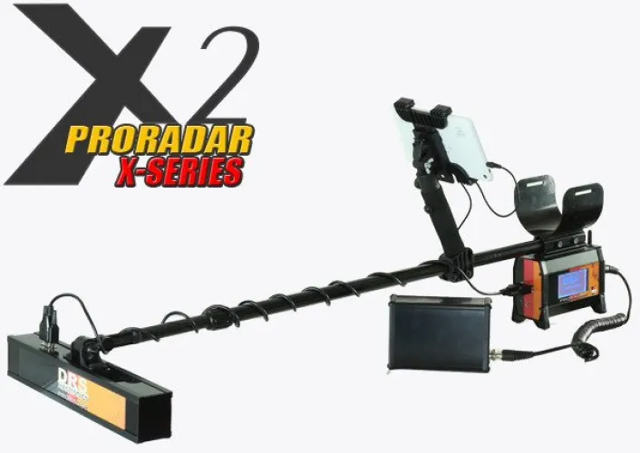
Drs Pro Radar x-2
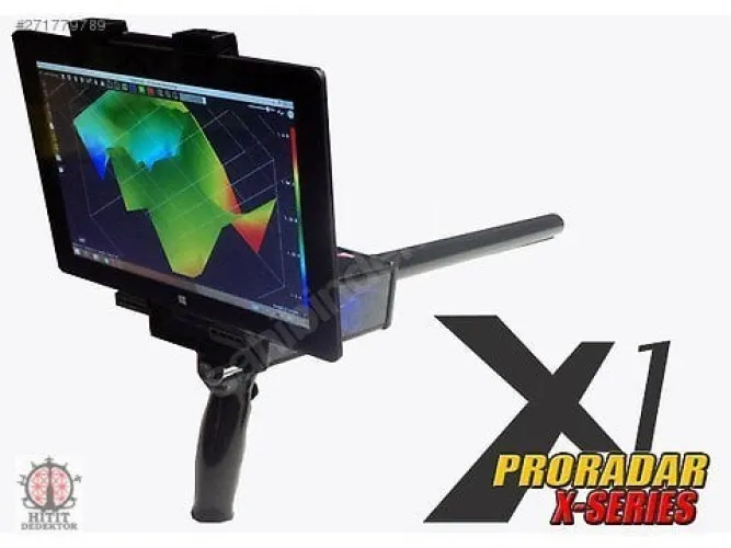
Drs Pro Radar X-1
GROUND TECH DISCOVERY SMR
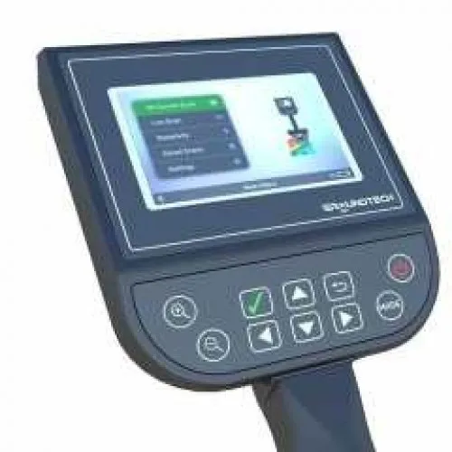
GROUND TECH DISCOVERY SM
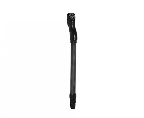
GroundTech EVO

Groundtech Gr 4 Dual
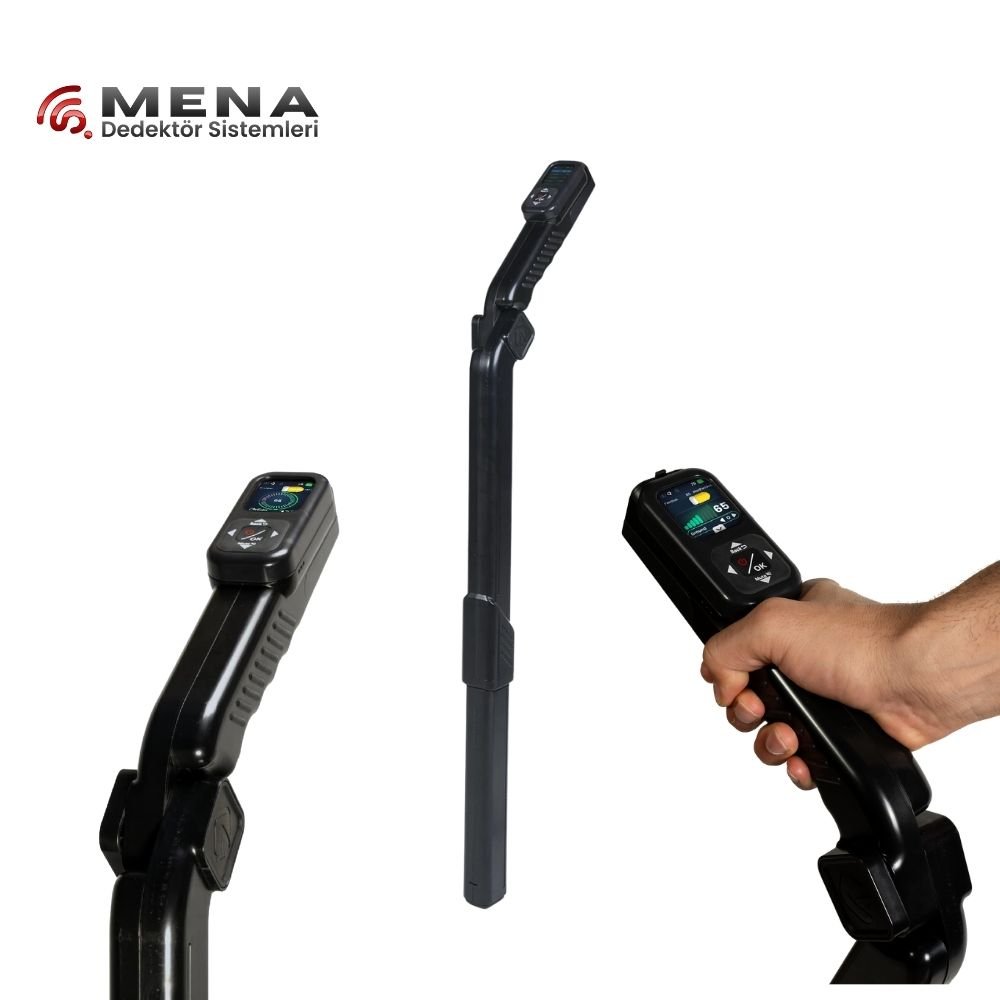
Groundtech GR 4
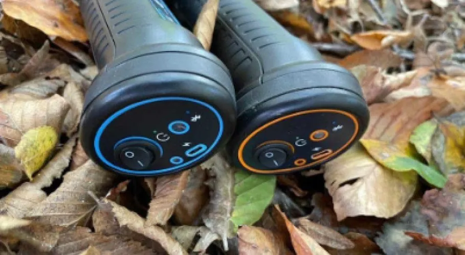
CONRAD GR-3
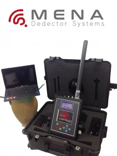
Conrad Pro 800
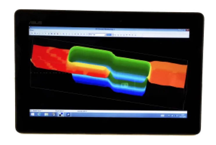
Conrad Pro 900
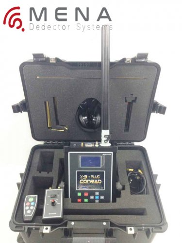
Conrad X-3 Ultra
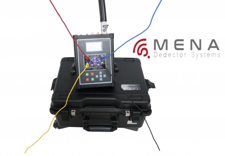
Conrad Geo X4
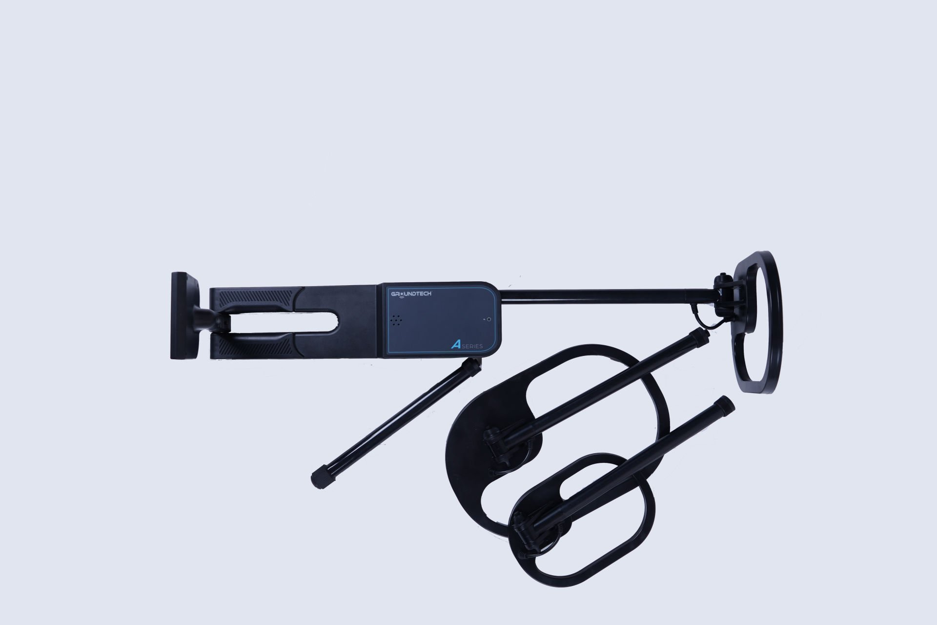
Conrad Groundtech A2-GEO Series
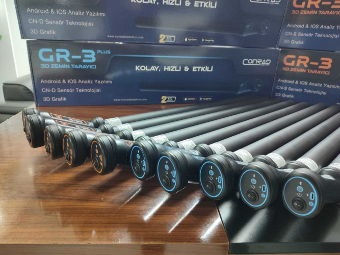
Conrad Gr 3 Plus
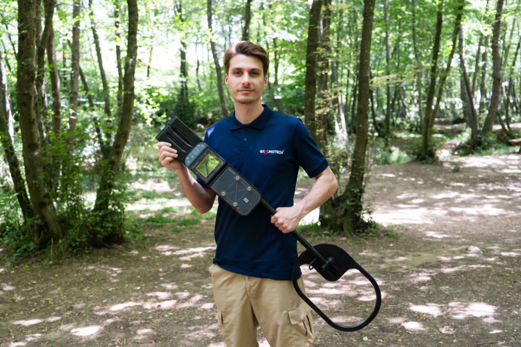
Conrad Groundtech A2 Series
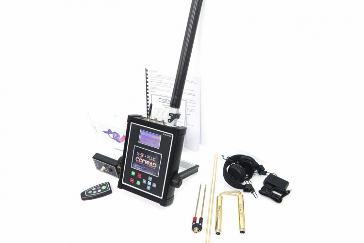
Conrad Geo X-3

Conrad Geo X-4

Conrad Gr 3
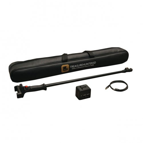
Treasurehunter3d GoldenEye Plus
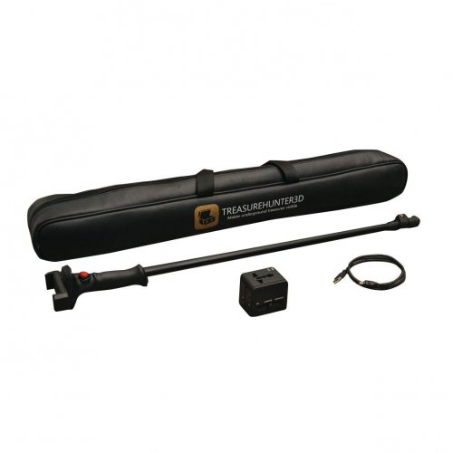
Treasurehunter3d GoldenEye
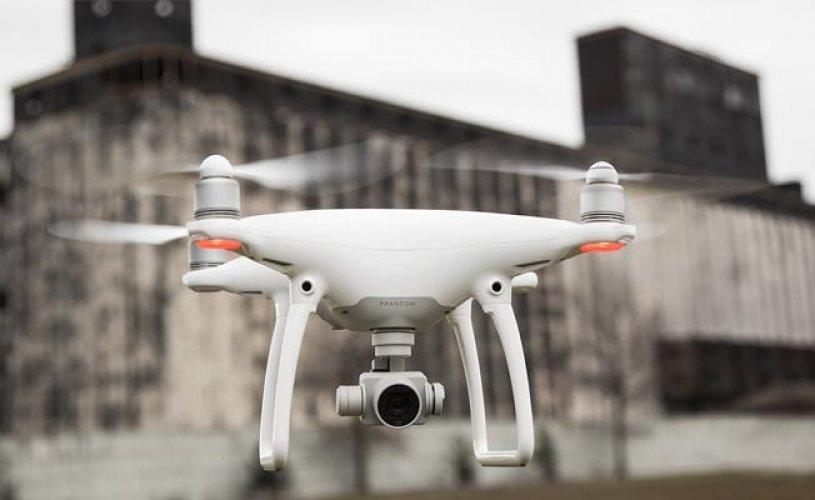
Treasurehunter3d DroneRover Phantom 4 Pro
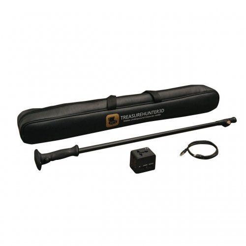
Treasurehunter3d Treasurehunter
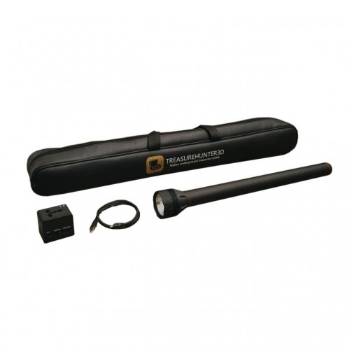
Treasurehunter3d TreasureLight
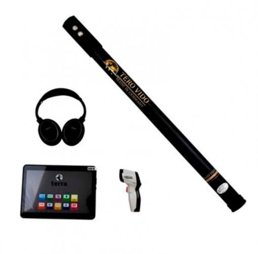
Tero Vido Basic
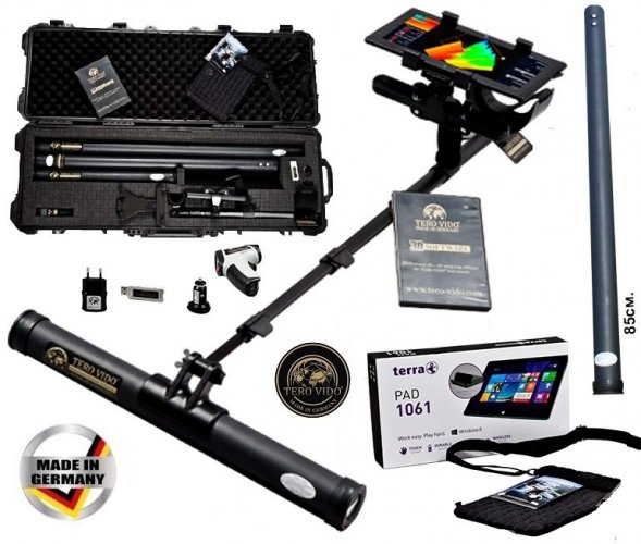
Tero Vido Basic Plus
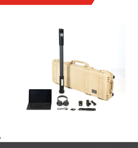
Tero Vido Expander
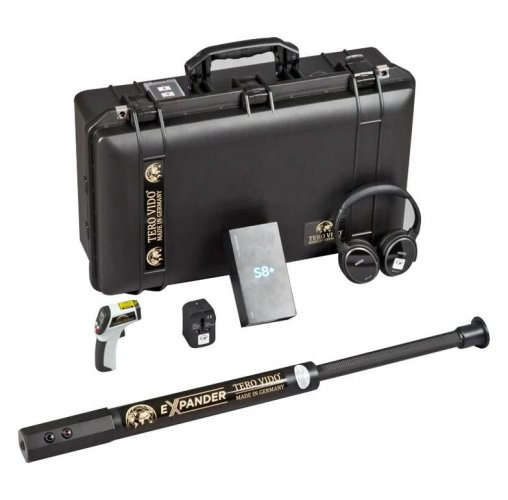
Tero Vido Expander Gold
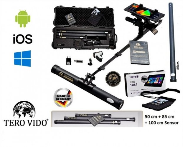
Tero Vido Pro Edition
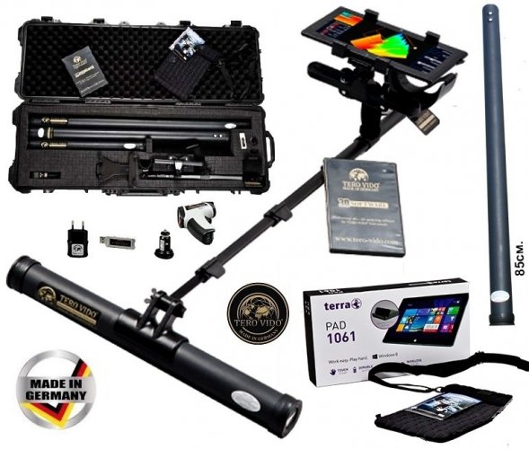
Tero Vido Standard

Radar Team Cobra Wireless

Radar Team Cobra PLUG-IN GPR

Cobra PLUG-IN GPR Underground Imaging

Cobra Wireless GPR Underground Imaging
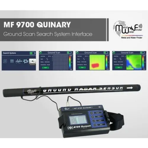
MWF - MF 9700
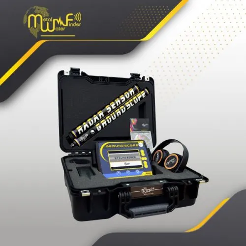
MWF Ground Scope 3D
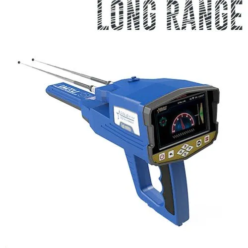
MEGA Gold Star 3D
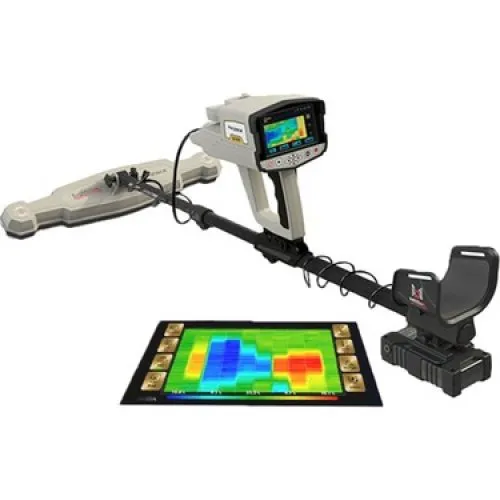
MEGA 3D Phoenix
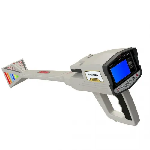
3D Phoenix Underground Imaging
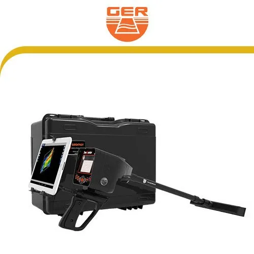
Ger - Deep Seeker
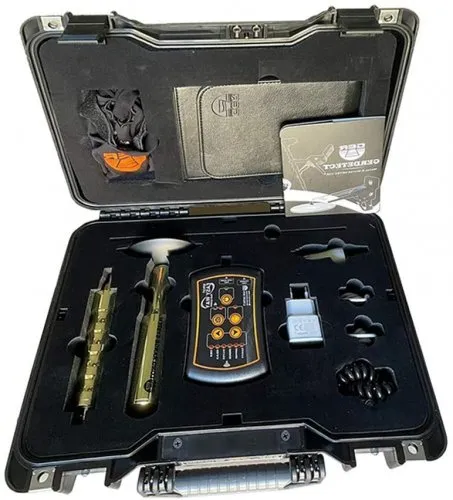
Ger - Easy Way Dual
Ger -Fresh Result 2
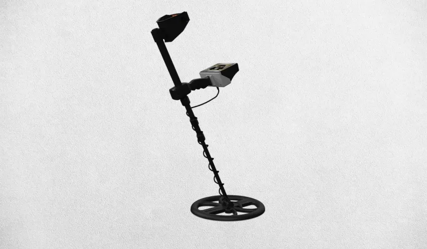
Titan Ger Golden Way Treasure Detector
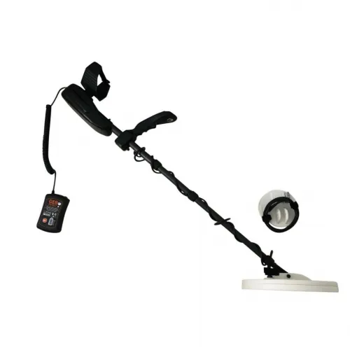
Titan Ger Gold Seeker Treasure Detector
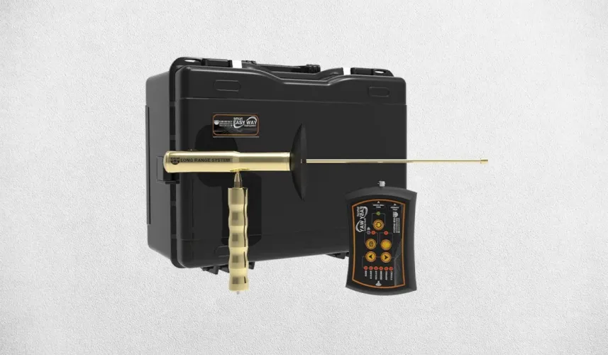
Titan Ger Easy Way Smart Dual System Underground Imaging
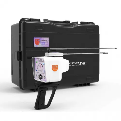
Titan Ger 500 Plus Device Gemstone Detector
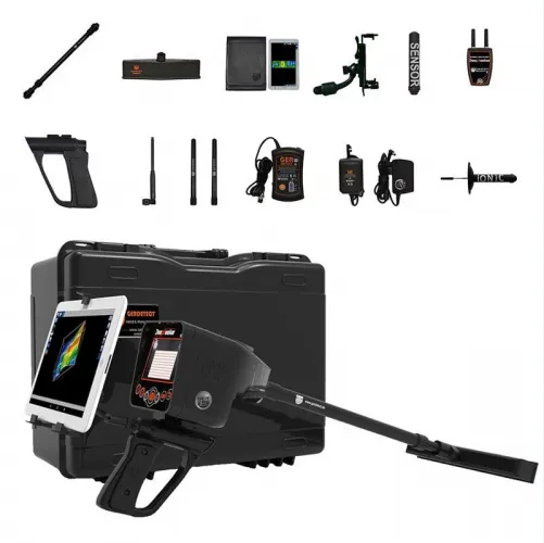
Titan Ger Deep Seeker Device Underground Imaging
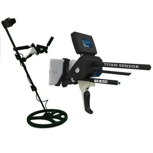
Titan Ger 1000 Underground Imaging System

BR700 Pro

BR750 Professional

BR 800p

BR Royal Analyzer Pro

BR Royal Basic

Ajax Primero

Ajax Omega

Ajax Alpha

Ajax Iota
Underground imaging devices and survey applications
An underground imaging project usually starts with a practical question: where does a buried structure extend, what causes an anomaly or how does a subsurface boundary change? Equipment in this category can present measurements as sections, maps or three-dimensional views. These displays are not photographs taken through the ground. Their meaning depends on the sensor, the positions at which data were collected and the processing applied by the software. Display appearance alone is therefore a weak basis for selecting a system.
Mena Dedektör lists equipment from OKM, Conrad, MALA, Radarteam, Tero Vido and other manufacturers. The range includes different approaches that should not be assumed to identify the same targets in the same way. Define the project question, likely target dimensions, ground conditions and available access before comparing models. The experience of the person interpreting the results also matters. A headline depth figure cannot replace a clear match between the proposed measurement and the information the project needs.
Ground penetrating radar, magnetic scanning and resistivity systems
Ground penetrating radar evaluates reflections from transmitted electromagnetic pulses. For a radar system such as the OKM Gepard GPR 3D, examine the antenna arrangement, collection procedure and analysis software together. Reflections are associated with changes in physical properties, rather than arriving with an automatic material label. Their geometry and relationship to neighbouring records require interpretation. Features described for a GPR instrument should not be applied indiscriminately to every product sold as an underground scanner.
Magnetic surveying investigates changes in magnetic fields. Ferromagnetic objects and geological variation can influence these measurements; direct identification of non-ferromagnetic gold is a different claim. For equipment such as the OKM Rover C4, check which sensor and measurement mode support each advertised function. Electrical resistivity is another distinct approach, involving the interpretation of electrical responses from an electrode arrangement. A three-dimensional display does not turn any of these methods into radar or make the system capable of recognising every material.
Planning a 3D underground imaging survey
Useful data need reliable spatial context. Establish the survey boundary, starting corner and direction of travel in advance. Line spacing and measurement intervals should suit the scale of the feature being investigated. Widely separated readings may miss smaller features, and software interpolation between them does not create new field observations. A smooth shape on a map therefore needs to be assessed against the density and quality of the underlying measurements.
Slopes, obstacles and changes in sensor height can affect collection. Record interruptions and changes of direction so unexpected patterns can be investigated later. A suitable crossing survey may help test an interpretation, provided the repeated measurements remain comparable. Note vehicles, fences, electrical equipment and visible metalwork on the site plan. Without that context, it becomes harder to distinguish a subsurface response from an influence introduced by the surroundings or the operator's movement.
Underground imaging systems comparison
The following comparison separates presentation from interpretation. It is a checklist for evaluating information, rather than a performance ranking. When browsing a product family such as OKM underground imaging systems, verify the sensors, recording options and software tools for the particular model and package. Similar-looking outputs can originate from substantially different measurements.
| Displayed information | Potential insight | Not established by itself | Useful check |
|---|---|---|---|
| Reflection in a radar section | A physical property boundary | An exact material identity | Consistency across adjacent lines |
| Magnetic anomaly | A magnetic field variation | Direct presence of gold | Surface metal and geological effects |
| Coloured three-dimensional map | Spatial presentation of readings | A photograph of the object | Raw data and sample spacing |
| Calculated depth | An estimate based on assumptions | Identical accuracy in all ground | Model assumptions and site calibration |
Colour palettes generally help display relative values. The same data may change colour when the scale or palette is adjusted, so fixed rules such as red means gold are not reliable interpretations. Ask which variable is represented and how thresholds were selected. Manufacturer examples also belong to their own collection conditions. A similar shape at another site should not automatically be assigned the same physical cause.
How deep can underground imaging equipment investigate?
No single depth figure applies to every subsurface target. For GPR, electrical ground properties, signal attenuation and antenna choice influence the investigation. Conductive environments can limit penetration, while frequency choices also affect resolution. Detecting a broad boundary and resolving a small object are different tasks. Ask what target size and contrast were involved in a quoted depth, rather than treating the number as a general specification for everything beneath the surface.
Magnetic and other methods likewise depend on target properties, background variation and the sensor arrangement. If the basis of a depth estimate is unclear, do not treat the displayed number as an exact distance. A demonstration on a known reference can help explain operation, but cannot guarantee performance at an unknown site. Where interpretation is demanding, allow time and budget for a suitably experienced specialist. A convincing image is useful only when the measurements and assumptions behind it can withstand examination.
Ground scanning software, raw data and reporting
A quotation should identify sensors, positioning accessories, computer or tablet requirements and software licensing as well as the main instrument. Ask whether raw data can be retained, which export formats are available and whether records can be processed again later. Delivering only a screenshot can limit independent review. Supported operating systems, licence scope and update arrangements should be confirmed for the actual package, rather than inferred from a different model in the same family.
Decide who will collect the data and who will interpret it. Training, service, accessory compatibility and field power arrangements all contribute to usable ownership. If the actual task is locating a leak or tracing a conductive utility, the industrial detection range may offer a more direct workflow. Select the method that answers the project question. Availability, delivery and service inclusions remain separate commercial points to confirm in a current quotation.
Compare Mena Dedektör's underground imaging products by sensor technology, recording capability and the interpretation requirements of your project to identify suitable systems.
How to compare underground imaging equipment prices
Underground imaging prices make sense only when the systems being compared address the same measurement task. A radar package, a magnetic survey system and a resistivity setup involve different hardware and working procedures. A shared ability to display a three-dimensional view does not make them equivalent products. The quotation should identify the sensor or antenna, recording unit, positioning options, software and required computer. Without knowing which components are included, the headline price provides an incomplete basis for comparison.
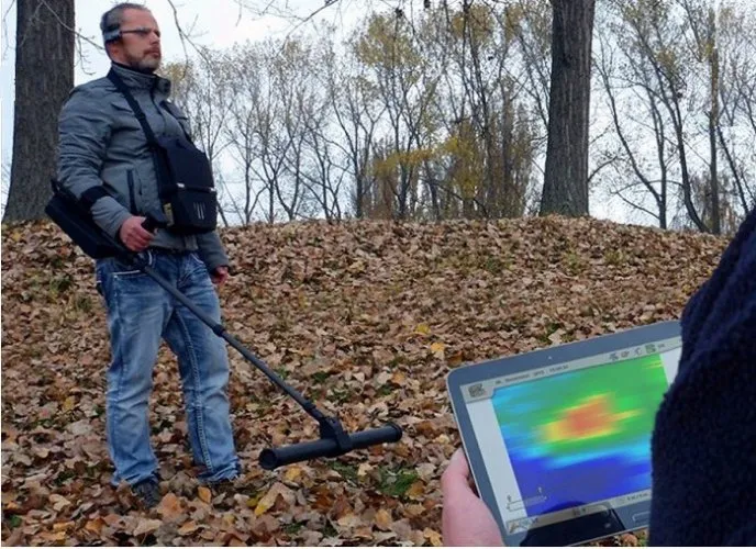
Software delivery also matters. Establish which functions the licence enables, where it can be used and what updates are included. Ask whether exporting raw data, reprocessing measurements or preparing reports requires another licence. A tablet shown in a photograph is not necessarily part of the quoted package. Training, application support and extra sensors should likewise be confirmed rather than assumed. Distinguish the equipment purchase price from the total cost of making the system usable for the project.
Consider the scale of the investigation before finalising the budget. A team conducting regular surveys may place particular value on reusable workflows and data management. For a single investigation, comparing the scope of a specialist survey service with equipment ownership may also be worthwhile. This is a planning option, not a statement that a particular service is offered with a listed product. Confirm current pricing, availability, delivery and support through the quotation for the relevant model, and budget for the complete investigation.
Which underground imaging device is best for the project?
The most suitable device depends on the target's physical properties and the ground. Radar, magnetic surveying and resistivity respond to different variables, so they do not answer every question equally. Define the output first: a utility route, the continuity of a layer, the approximate geometry of a buried structure or the distribution of a magnetic anomaly. Selecting the largest advertised depth before defining that output can overlook the resolution and data quality the project actually requires.
When reviewing OKM, Conrad, MALA, Radarteam or Tero Vido equipment, preserve the distinctions between methods and individual models. Products from one brand do not necessarily share sensors or analysis tools. For shortlisted systems, review example data alongside the manual, field setup and software output. The conditions under which the examples were collected should be explained. Understanding which measurements produced an image is a stronger basis for comparison than choosing the most attractive screen presentation.
For a professional survey team, the division of work also affects the choice. Clarify who will collect the data, who will interpret it and how the report will inform the project. An easily carried system may still be unsuitable if its records do not support the required examination. Equally, advanced analysis tools can become a practical obstacle if the team cannot learn or maintain the workflow. Suitability comes from matching the measurement method to a process the team can carry out reliably.
Evaluating 3D ground scanner models before purchase
A demonstration should show more than the final coloured map. Observe how the survey area is defined, the starting position recorded, lines followed and measurements transferred into the software. Comparing an original view with processed versions helps explain how the display has been altered. Ask about any filtering, smoothing or threshold adjustments and what they do to the interpretation. These tools can organise existing measurements, but they do not replace observations that were never collected in the field.
Where possible, request an example project file that can be reopened, rather than only a screenshot. Check whether units, direction, sampling intervals and notes remain available. Establish whether another computer needs an additional licence or a particular viewer to inspect the records. A later review may involve another specialist, making access to the underlying files important. Data portability should be part of the buying decision rather than an overlooked software detail discovered after delivery.
Plan power, transport, backup and connectivity requirements as well. Verify whether the model needs an internet connection during work and whether measurements can be stored offline. Environmental limits apply to individual components: a sensor's protection does not establish the computer's resistance to rain or dust. Use these requirements when comparing Mena Dedektör's underground imaging models. The aim is to choose a measurement system that supports the project from field preparation through reporting, with clear limits on what the resulting images can establish.
Frequently Asked Questions (FAQ)
Is a three-dimensional scan a photograph underground?
No. It is a software presentation of measurements. Sampling, processing and display settings influence the resulting appearance.
Does GPR detect only metal?
No. Under suitable conditions it records reflections associated with different physical properties. This does not mean every target is detectable or automatically identifiable.
Can magnetic scanning directly identify gold?
Gold is not ferromagnetic. A magnetic anomaly alone cannot establish its presence; the source of the anomaly needs separate evaluation.
Why retain raw survey data?
It allows review of measurements and processing choices, and comparison of alternative interpretations. A single coloured screenshot may not support those checks.
What is the purpose of surveying in two directions?
A suitable crossing survey can help assess geometric consistency. It does not resolve poor sampling, inaccurate positions or environmental interference by itself.