

Conrad Underground Imaging Systems
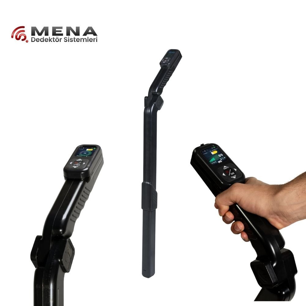
Groundtech GR 4
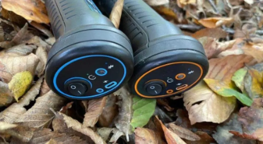
CONRAD GR-3
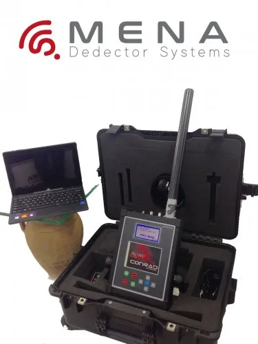
Conrad Pro 800
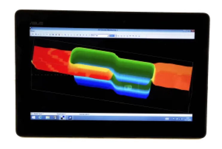
Conrad Pro 900
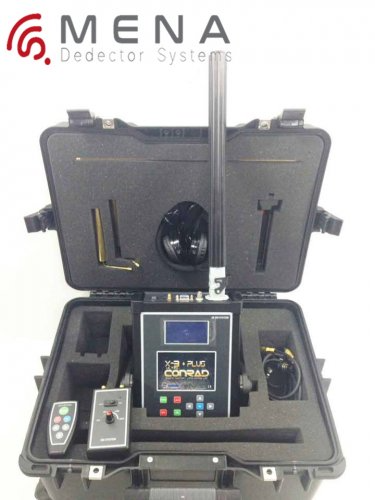
Conrad X-3 Ultra
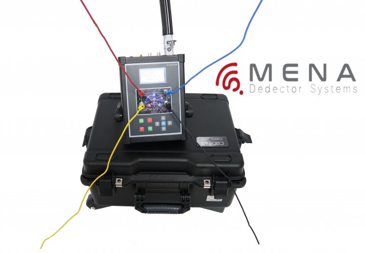
Conrad Geo X4
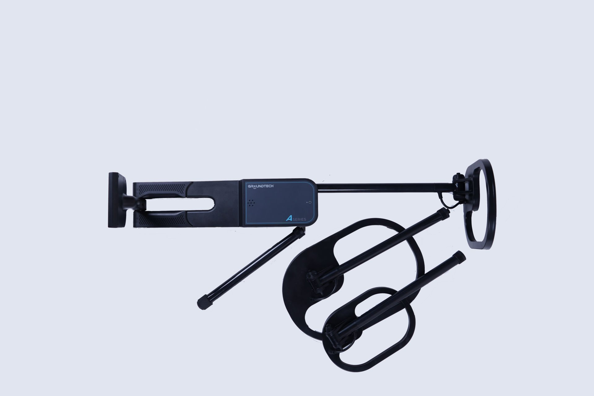
Conrad Groundtech A2-GEO Series
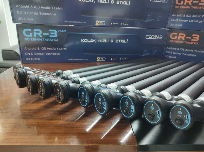
Conrad Gr 3 Plus
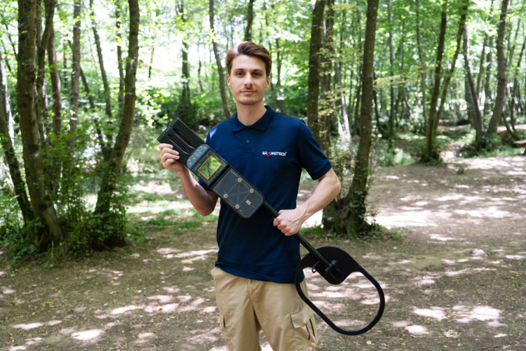
Conrad Groundtech A2 Series
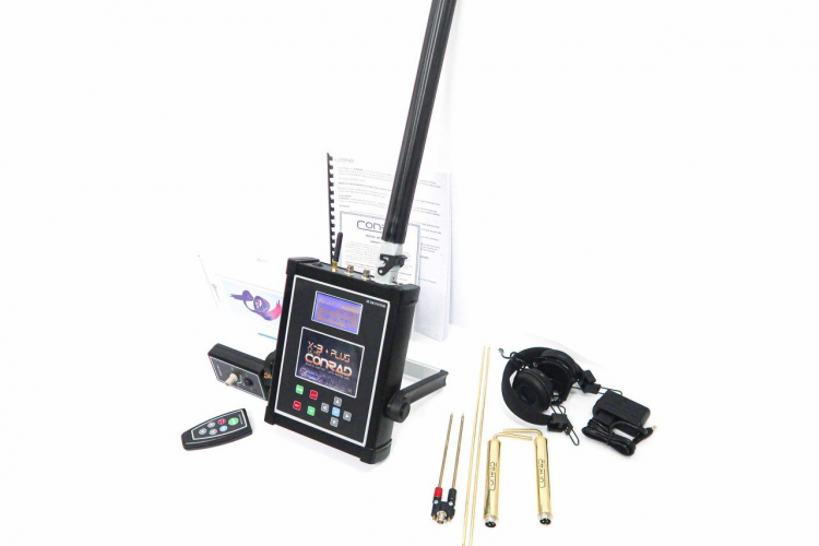
Conrad Geo X-3

Conrad Geo X-4

Conrad Gr 3
Conrad underground imaging devices and product families
The Conrad GPR category brings together GR-3 and GR3 Plus options, Pro800, Pro900, X-3 Ultra and Geo X listings. Groundtech GR4, A2 and A2-GEO products also appear here, making the product family as important as the brand heading when comparing equipment. Groundtech is associated with the Conrad range, but that relationship does not make every sensor, viewing platform or measurement method identical.
The GPR category label should not be read as a technical specification for every item. Producing a three-dimensional display does not by itself establish that a device measures radar pulses. First identify the physical information collected, then examine how the software presents it. This puts the measurement needed for your investigation ahead of the appearance of the finished image.
Conrad GR-3 versus GR3 Plus
CONRAD GR-3 and Conrad Gr 3 Plus have similar names but should be compared as distinct configurations. The manufacturer's GR-3 description identifies the single-sensor CN-S arrangement, while GR3 Plus uses the dual-sensor CN-D arrangement. Match the sensor supplied in the quotation to the device label and operating document. A close product name is not enough to establish the hardware included.
The manufacturer describes mobile-app viewing and wireless transfer for this family. The practical question is whether the supplied application works with the phone or tablet you intend to use. An operating-system name alone may not resolve version requirements, application availability or connection compatibility. Ask for a demonstration with an arrangement comparable to your own, rather than relying only on a device that has already been configured for a presentation.
Sensor count is not a universal ranking of results in every field condition. Survey preparation, collection geometry and interpretation also matter. A useful comparison records the same area with comparable lines and examines the datasets on a consistent scale. If different colour settings are applied, resolve that difference before comparing the position and appearance of features in the two records.
Conrad Pro, Geo X and Groundtech model differences
Record the exact spelling and code when considering Pro800, Pro900, X-3 Ultra, Geo X-3 or Geo X-4. The catalogue includes closely named entries such as Geo X4 and Geo X-4, or GR-3 and Gr3. Their spelling alone does not prove that they are identical packages or that one is a newer edition. Establish their identity through the product code, software information and written delivery list.
Conrad Groundtech A2-GEO Series deserves a separate assessment within the A2 family. The manufacturer associates A2-GEO with electrical resistivity. An electrode-based survey requires different preparation from walking a handheld sensor across a grid. Surface access, electrode placement and connection layout therefore affect suitability. Treat this as a measurement-method distinction rather than simply a difference in the number of accessories inside the case.
| Comparison group | Priority check | Practical question |
|---|---|---|
| GR-3 and GR3 Plus | Sensor arrangement and mobile connection | Which sensor and application are supplied? |
| Pro and Geo X listings | Exact model and package identity | How do similarly named entries differ? |
| A2-GEO | Resistivity setup | Is access to the survey surface suitable? |
| Groundtech GR4 | Model-specific recording process | Where are data viewed and stored? |
Mobile devices and records for Conrad 3D imaging
For a mobile-based system, screen size, connection stability and outdoor readability affect everyday work. Establish where the application stores survey records. Find out how old files will be opened after replacing a phone, what is needed to reinstall the application and whether the licence can be moved. These details should be checked for the exact software version rather than assumed across the entire Conrad range.
Dividing a survey into small, clearly identified areas can help new users recognise collection errors. Give each area a name and mark the first line direction on a sketch. Keep interrupted records separate from completed measurements. When repeating a survey, create a new file rather than overwriting the earlier one. This preserves the information needed to investigate whether a change came from collection procedure or field conditions.
A successful wireless connection does not alone establish that the full dataset was collected correctly. After a sample survey, check that the recorded rows and area dimensions match the planned layout. Note pauses, direction changes or connection interruptions in the field record. Such events may explain an irregularity noticed later in the image. Consult the relevant operating instructions for how the application handles missing or incomplete measurements.
Plan the handover between the person collecting the data and the person reviewing it. The reviewer needs more than a file name: include the sensor identity, survey origin, direction and any interruptions. Keep these notes with the original record. A clearly documented small survey is often easier to assess than a larger image whose geometry or collection history cannot be reconstructed reliably.
Conrad underground imaging prices
Compare Conrad imaging prices on an equivalent basis, including sensors, mobile hardware, software and transport equipment. If you will supply your own phone, consider that arrangement alongside the quotation. Comparing a device-only price with a package that includes a tablet can obscure the actual cost difference. Use the individual product cards for current listed prices and update your comparison whenever the package changes.
An additional sensor or measurement system can change preparation and learning requirements as well as hardware cost. Describe the survey you intend to perform before prioritising a larger package. Then identify the components needed to complete that survey. This sequence connects the budget to a useful workflow and makes it easier to distinguish necessary equipment from functions that may rarely be used.
Software access, update arrangements and the process for replacing the viewing device can also be discussed during quotation. Do not assume identical support terms across packages. Clarify any warranty or service scope that is important to the purchase. The file formats available for retaining and transferring records may matter as much as the initial price when the equipment is intended for use over several years.
Choosing the best Conrad imaging model for your work
The most suitable Conrad model is one whose measurement method fits the investigation and whose records you can review. A user working with a mobile device and a team setting out electrodes have different requirements. Compare preparation, collection, review and transport separately instead of ranking both arrangements by a single depth claim. Identify what you actually need at each stage.
The main underground imaging systems page offers alternatives using different approaches. Once your Conrad shortlist is ready, resolve similarly named entries through their product codes and reopen a sample dataset yourself. Display colours do not directly reveal an object's chemical composition; interpretation depends on the method and field information. A decision based on a verifiable working process makes the practical meaning of the advertised features much clearer.
Frequently Asked Questions (FAQ)
Is every product in the Conrad GPR category a radar?
No. Check the method used by each model. A three-dimensional image alone does not establish radar technology.
Do GR-3 and GR3 Plus use the same sensor?
The manufacturer identifies CN-S for GR-3 and CN-D for GR3 Plus. Confirm the configuration in the actual package.
Will a Conrad system connect to any phone?
Check application availability, operating-system version and hardware compatibility together.
Why assess A2-GEO separately?
Resistivity introduces different field requirements, including electrode placement and access to the surface.
Are Geo X4 and Geo X-4 identical packages?
Similar spelling is insufficient. Match product codes, versions and delivery lists before making that conclusion.