

Radar Team Ground Penetrating Radar Systems
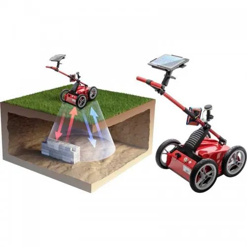
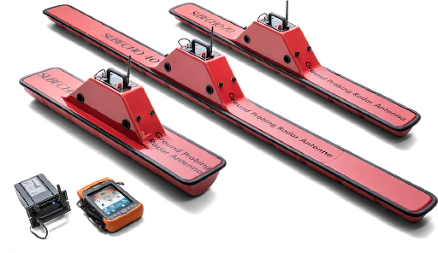
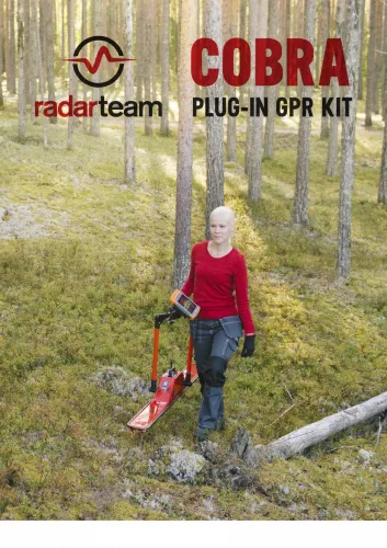
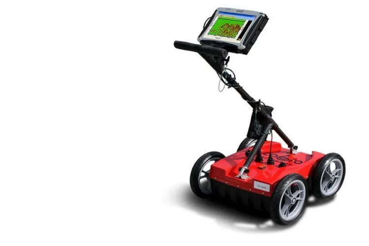
Radar Team ground penetrating radar systems provide options for users who want to investigate the subsurface through radar measurements. Cobra Wireless and Cobra Plug-In are the principal names in this category. Choosing between them involves more than the wording of a connection type: antenna configuration, control equipment, survey geometry and data interpretation all matter. A useful comparison explains both the task and the complete recording process required to carry it out.
Some Cobra products appear under closely related listing names at Mena Dedektör. A different title does not necessarily identify a new hardware generation or a separate measurement capability. Request the complete system designation, antenna and package contents together. That makes it easier to compare actual equipment without treating every differently worded listing as a distinct technology.
Radar Team Cobra Wireless and Plug-In GPR models
When comparing Radar Team Cobra Wireless with Radar Team Cobra PLUG-IN GPR, avoid interpreting the names as complete descriptions of the control connection. The manufacturer's Plug-In designation concerns the radar unit's arrangement with the antenna; it does not mean that the controller must use a cable. Confirm the connection between the antenna assembly and recording device, the control software and the components carried into the field for each offer.
For a Wireless listing, establish exactly which antenna arrangement is supplied. Documents covering different Cobra configurations should not be combined into one assumed specification. A frequency or accessory mentioned in one brochure may not apply to another system. The photograph, technical list and quotation should all describe the same arrangement, particularly when older documentation and a current sales listing are being reviewed together.
Finish the comparison by considering physical operation. How will you read the screen, move the antenna and record distance? A narrow passage and a broad level surface may favour different arrangements. Protection of the controller, visibility of connection status and access to the battery are practical matters worth testing before making a decision.
How Radar Team ground radar measurements are interpreted
GPR records reflections of transmitted electromagnetic energy associated with changes in subsurface properties. The resulting profile is not a photograph. Interpretation considers the timing, position and continuity of recorded responses. A conspicuous shape on the display does not by itself establish an object's type or contents. A pipe, fill boundary, stony area or another contrast may each require further investigation.
The central question is whether the expected feature will produce a useful response against the surrounding ground. Electrical properties and moisture conditions can influence the measurement. An advertised maximum depth should therefore not be treated as a routine result in every soil. A demonstration in conditions resembling the intended site is more informative than an isolated headline number. Review the difficult portions of a record as well as the strongest examples.
The wider underground imaging systems range provides context when comparing measurement approaches. The purpose is to identify a suitable method and, where useful, complementary evidence. A radar profile and an anomaly map produced by another sensor are not interchangeable forms of data, even if both can be presented in a coloured three-dimensional view.
Planning Cobra GPR survey lines and distance records
A readable survey depends on connecting each record to its actual position on the ground. Mark start and finish points, number the lines and record their directions. Measure the spacing between neighbouring lines instead of estimating it while walking. If an obstacle forces a deviation, record that fact. A tidy map created later cannot recover a line that was never followed correctly in the field.
Where recording is triggered by distance, check that the distance measurement represents the actual movement of the equipment. Wheel slip, lifting and uneven surfaces can affect positioning. Repeating a line in the opposite direction helps assess whether a recognisable event appears in a corresponding location. Keep the repeat as a separate record rather than overwriting the first attempt.
For an investigation that runs from an open area into a restricted passage, clearly related sections may be easier to manage than one uninterrupted profile. Note where each section starts and how it joins the previous one. Select line spacing and recording density for the expected feature and the operating arrangement of the system. More points do not compensate for uncertain positions or an undocumented change of direction.
Radar Team GPR data and three-dimensional analysis
Recording a radar profile and constructing a three-dimensional interpretation are different stages. Signal quality and positioning are central during collection. Later, the relationship between survey lines, processing choices and software capabilities becomes important. The word imaging in a category title does not mean that every package includes identical analysis tools. Ask for acquisition and post-processing capabilities to be identified separately in the quotation.
Retain original files as well as interpreted images. Gain, filters and colour scales can make the same data look different. Note why each change was made and which question it was intended to examine. A feature visible only after strong processing is not equivalent to a response that repeats in corresponding positions on neighbouring lines. Keeping both original and processed versions makes that distinction easier to review.
Ask how values on the depth axis were obtained. Converting recorded travel time into depth requires assumptions about the medium. An unsuitable assumption can produce a neat-looking section with an incorrect scale. Training is more useful when it explains how these choices are documented, rather than demonstrating only which buttons produce a particular display.
Radar Team ground radar prices and quotation comparisons
Compare Radar Team prices using the antenna, control unit, transport arrangement and software scope together. Two quotations bearing the same Cobra family name may include different accessories or analysis tools. An initially lower figure can become a different total once a necessary component is added. Build the budget around a complete working package rather than the headline device price.
| Quotation item | Explanation to request | Useful check |
|---|---|---|
| Radar and antenna | Exact models supplied together | Match documentation to the equipment |
| Position recording | Distance and field reference arrangement | Test along a measured line |
| Software scope | Acquisition, export and analysis functions | Reopen a representative saved file |
| Practical support | Training content and delivery conditions | Demonstrate a complete workflow |
Use the current product record and a written offer for pricing. Do not infer availability, delivery time or included training from general category information. Clarifying the control computer and licensing requirements early helps avoid receiving equipment that cannot yet be used with the rest of your setup. Include the intended office computer in that compatibility discussion.
Choosing the best Radar Team system through a demonstration
The best Radar Team system is the one that supports your intended work through a manageable and repeatable survey routine. During a demonstration, try moving on a level surface, turning in restricted space, stopping and restarting a record, and locating the saved file. Reading the screen matters, but so does staying on the planned line. If a team shares the work, agree how the operator and the person maintaining field notes will coordinate.
Evaluate more than a striking image. A site sketch, original record, settings and clear statement of interpretation limits together make a demonstration more useful. Try to produce the same set of information in your own practice survey. It shows whether the workflow is understandable and whether another person could review the result without relying on the operator's memory.
Before leaving the demonstration, reopen an earlier file and identify its start point on the sketch. Then compare it with a repeat line and explain any differences. This simple exercise tests several parts of the system at once: naming, positioning, storage and interpretation. A successful equipment choice should make these routine checks practical, because they will matter on every subsequent project.
Frequently Asked Questions
Does Cobra Plug-In mean a wired controller?
No. The name alone does not define the control link. The manufacturer also describes wireless control for the Plug-In system; confirm the offered configuration.
Do Cobra Wireless and Plug-In use the same antenna?
Do not assume this from their family names. Verify the antenna and radar-unit combination for each quotation.
Can Radar Team radar conclusively identify gold?
A radar profile is not direct chemical analysis. A reflection pattern or display colour cannot establish that a target is gold.
Is one profile sufficient for a three-dimensional survey?
An area interpretation requires appropriately arranged measurements and suitable processing tools. A single line does not represent the entire area.
Why compare Radar Team prices by package?
Antennas, controllers, positioning components and analysis software can change the total cost. A shared system name does not guarantee equivalent contents.