

Groundtech Underground Imaging Systems
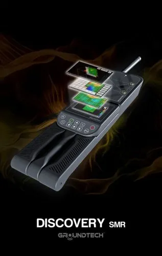
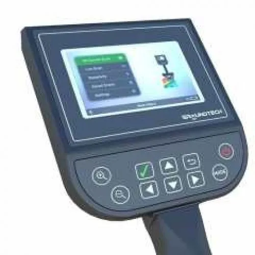
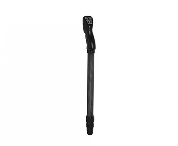

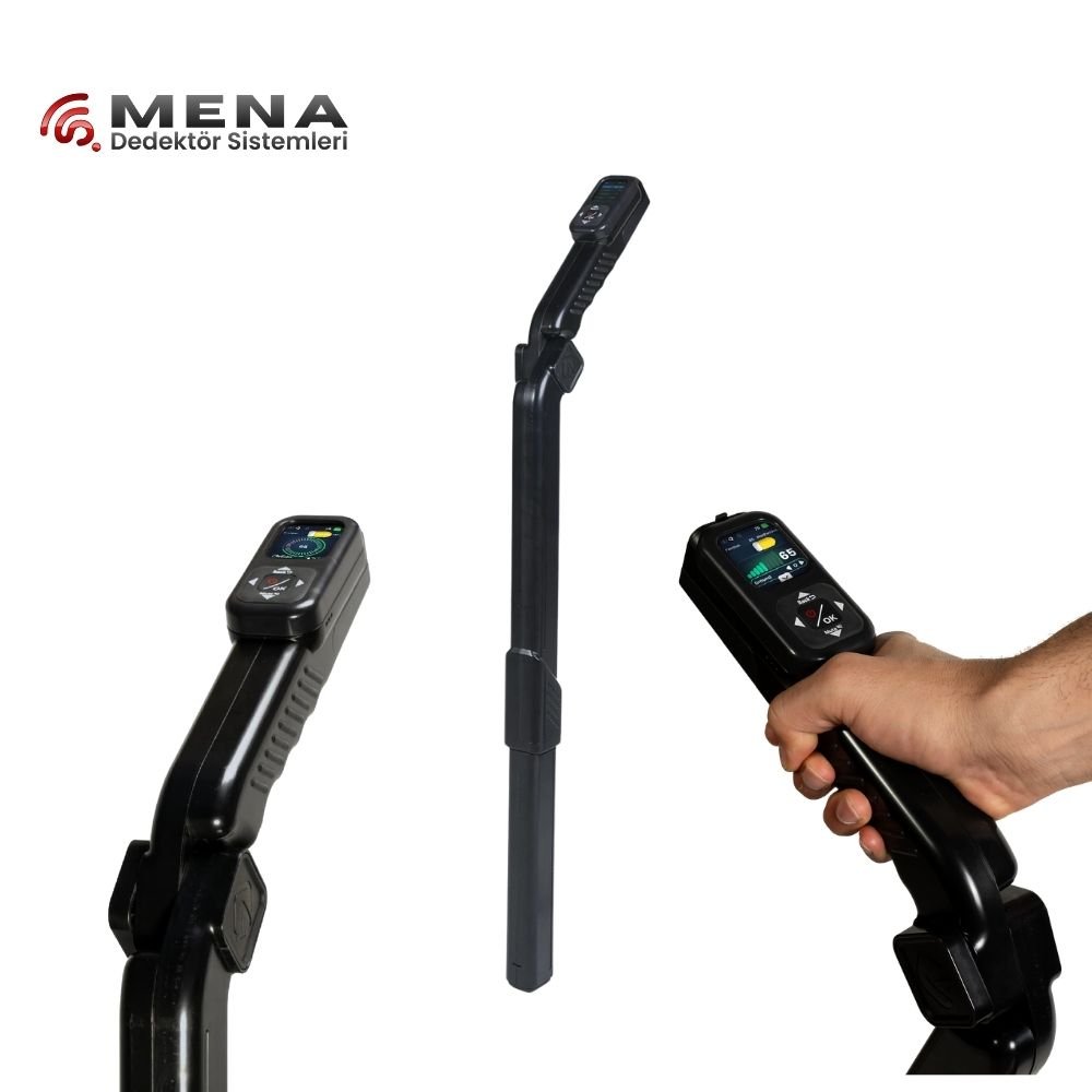
Groundtech underground imaging systems and model families
The Groundtech underground imaging category includes Discovery SMR, Discovery SM, EVO, GR4 Dual and GR4. Begin by identifying the measurement hardware and the place where data are viewed. Working on an integrated display, using another viewing environment and changing between measurement methods create different field arrangements. Those workflows provide a useful basis for model selection.
A longer feature list is not automatically a closer match to your needs. Someone recording a defined area may prioritise file creation and review. A team applying different physical methods may focus more on sensor changes and setup. Writing down the functions you intend to use makes the comparison easier and keeps attention on the work that must actually be completed.
Groundtech Discovery SM versus Discovery SMR
One manufacturer-described distinction between GROUND TECH DISCOVERY SM and GROUND TECH DISCOVERY SMR is the addition of resistivity functions in the SMR option. Alongside the Discovery family's display and recording workflow, resistivity introduces a different type of field preparation. Treat it as a method difference, not merely an extra letter in the name or additional accessories in a case.
If resistivity is required, access for electrode placement, connection layout and available survey time become important. A purchase planned around walking a handheld sensor can underestimate the preparation needed for this method. Watch the relevant components being connected and the records being organised during a demonstration. This makes the SM and SMR distinction understandable in terms of daily work.
Recorded area scans, live viewing and checking functions should be assessed as separate operations. Watching a change on a live screen is different from creating a structured survey file. Learning when to use a particular function may be more valuable than quickly trying every mode. Start by completing one workflow and reopening its result before adding further methods.
Comparing Groundtech GR4, GR4 Dual and EVO
For Groundtech GR 4, GR4 Dual and EVO, establish the sensor arrangement, viewing environment and software scope first. Check what “Dual” means for the exact product rather than inferring hardware or performance from the name. It should not be treated as a promise of greater depth, resolution or easier interpretation in every condition.
When comparing these choices with Discovery, include the number of devices and connections involved. Screen position, how each hand is used and how settings are checked during a scan can affect the field experience. Observe these details in a trial resembling your intended work. A short demonstration by one person may not reveal every requirement of a longer team survey.
| Working stage | Discovery assessment | GR4 / EVO assessment |
|---|---|---|
| Preparation | Components for the selected mode | Model-specific sensors and connections |
| Viewing | Use of the device display | Compatibility of the viewing environment |
| Method selection | Whether SMR resistivity is required | Method described for the exact product |
| File handover | Reopening and retaining records | Software and export scope |
Planning a Groundtech 3D imaging survey
Define the area and collection direction before starting. Dimensions entered on the device should correspond to the actual distances on the ground. Marking the origin helps position later measurements consistently. After completing the first file, check more than whether an image appears: its orientation and row order should also agree with the intended layout.
If several areas will be measured during the day, plan file names in advance. An area identifier, method and repeat number can be sufficient. Reusing one file name for different modes or overwriting an earlier run complicates later comparison. Short field notes kept with each record help explain the conditions under which the image was produced.
When using several methods with Discovery SMR, document each method's starting arrangement separately. Electrode positions and walking lines may be shown on the same plan, but should not be described as one measurement. Check spatial alignment before comparing the resulting datasets. Even if one indication appears to support another, assess the collection quality and limitations of each method independently.
Review data before leaving the site where practical. Incorrect dimensions, an incomplete file or a confusing name can then be recognised while the collection arrangement is still available. A display that looks irregular does not automatically indicate a device fault. Collection procedure and environmental conditions also deserve examination. Any repeat should be saved separately, preserving the first record.
For a team workflow, assign responsibility for the device and the area plan. The person operating the screen may not notice that a marker has moved or a line has been skipped. A brief check between sections can prevent that information from being lost. The objective is a traceable record whose position is understood, rather than the largest possible image collected without interruption.
Groundtech imaging prices and total package scope
Assess Groundtech prices using the current product cards and delivery contents. When comparing Discovery SM and SMR, identify the resistivity equipment included. For GR4, GR4 Dual and EVO, list the sensor, software and viewing equipment explicitly. A written delivery list is a stronger basis for comparison than assuming every item in a photograph is included.
A price difference may involve more than the main housing. Additional sensors, connections, power equipment and transport arrangements can change the scope. Mark which components you will actually use when assessing an offer. A broader package can also require more preparation and learning, so keep the intended daily workflow alongside the price comparison.
Establish the software environment, record-storage process and licence terms before purchase. If another device will be used for review, demonstrate that a sample file can be opened there. Do not assume update, support or warranty arrangements that are absent from the offer. General service language associated with a model may not apply identically to every package.
Which Groundtech underground imaging model is best?
The most appropriate Groundtech model connects the required method with a workable daily routine. Someone wanting to inspect a record directly on the device may have different priorities from a team combining several pieces of equipment. The additional method in Discovery SMR becomes relevant when the site and available expertise allow it to be used. For the other models, required data and handling remain the key criteria.
The main underground imaging systems page provides other systems for comparison. Within Groundtech, use the same scenario from setup through file review. At the end of a trial, explain the record's orientation, selected method and important settings. This is a practical check of understanding. A three-dimensional display should not be treated as conclusive target identification; interpret it with field information and any independent assessment needed.
After choosing a configuration, preserve a concise setup record with the first files. Include component identities and the software version used. If equipment is later added or a viewing device is replaced, this reference helps distinguish a changed setup from changed ground conditions. It also gives new team members a concrete example of how the system was originally operated.
Frequently Asked Questions (FAQ)
What is a main difference between Discovery SM and SMR?
The manufacturer describes resistivity functions for SMR. Confirm the complete hardware and package scope separately.
Does GR4 Dual mean higher performance in every situation?
No. Assess the actual hardware difference, method and intended conditions from the product information.
Are live viewing and a recorded area survey identical?
No. Watching an immediate indication and creating a structured survey file are different workflows.
Can SMR electrode surveys be used on every surface?
Surface access and contact conditions matter. Assess the site against the operating requirements.
Do Groundtech prices include software and viewing hardware?
The current delivery list and licence scope for the model define what is included.