

DRS Underground Imaging Systems
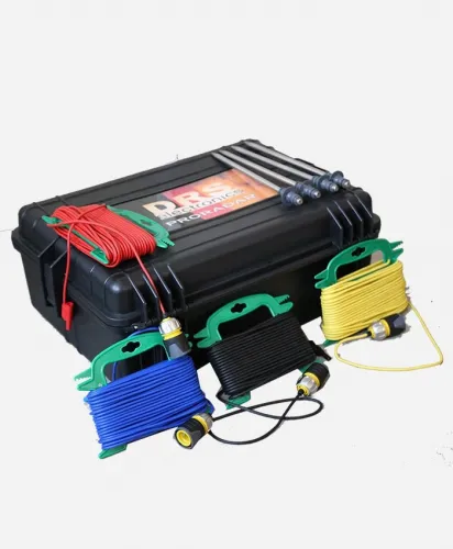
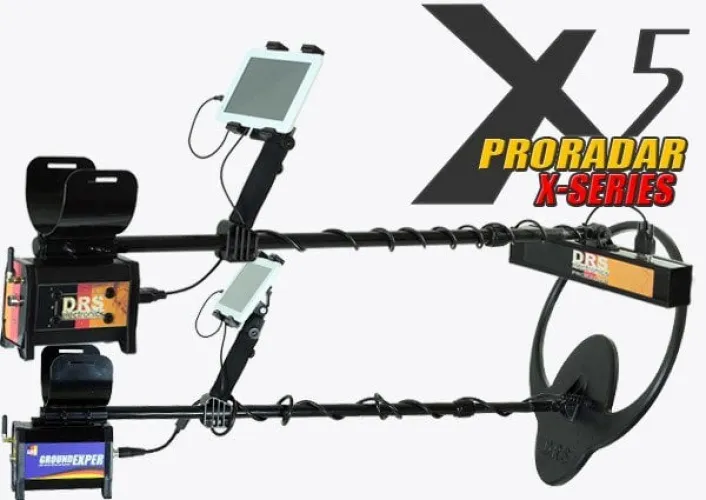

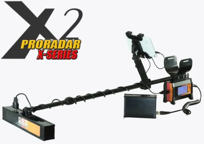
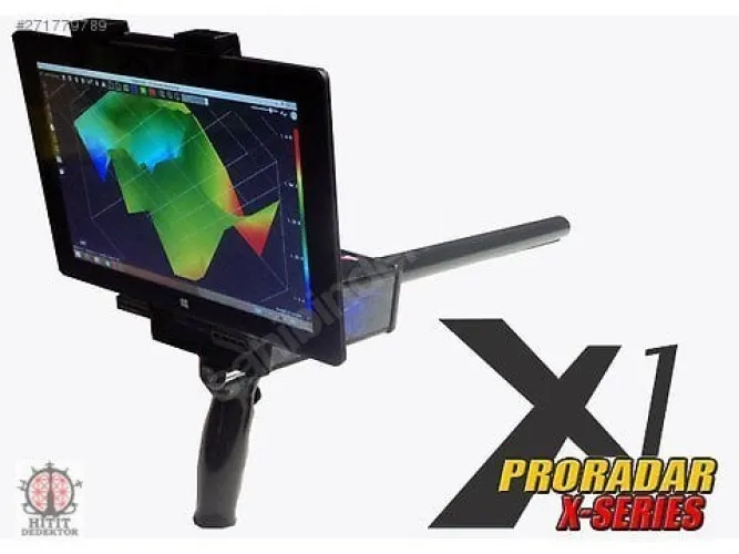
DRS underground imaging devices and ProRadar models
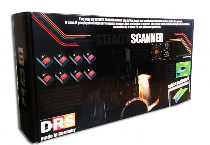
The DRS underground imaging category includes 3D Stealth Scanner, ProRadar X1, X3 and X5 listings, alongside names such as Pro Radar x-2 and ARS Water System. Compare the full model identity with the investigation objective. A shared ProRadar name does not establish that all versions have identical sensors, software or connections. Build the first shortlist around the method you need to use.
One important question is how the displayed image was collected. Area dimensions, line order and measurement spacing must be understood before judging a three-dimensional view. Seeing the complete process, from preparing an area to reopening the resulting file, helps establish which model fits your way of working. A polished image alone gives little information about the practical demands of producing it.
Comparing DRS ProRadar X1, X3 and X5
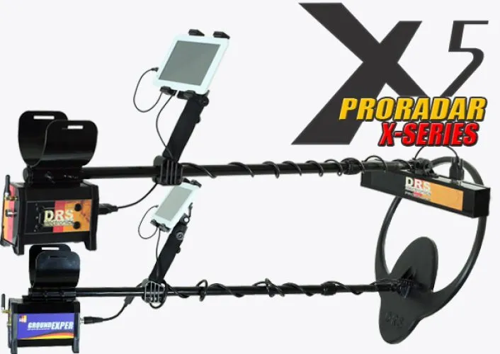
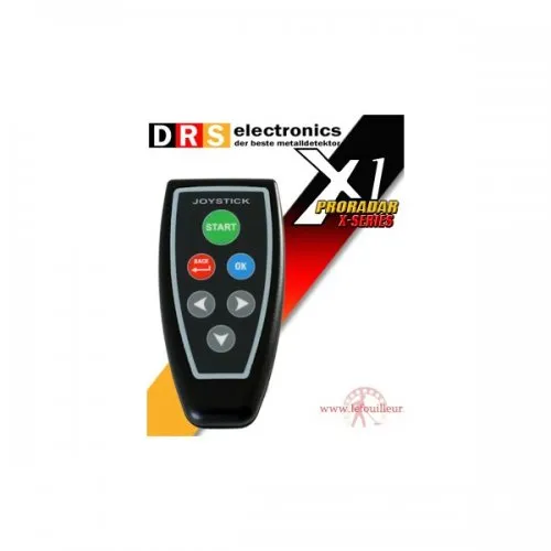
For options such as DRS ProRadar X1 and DRS ProRadar X5, avoid treating the number as a complete performance ranking. Establish the hardware version, sensor and viewing environment first. A feature described in the manufacturer's X1 Pro documentation should not automatically be assigned to every product listed simply as X1. The operating document must match the equipment actually being supplied.
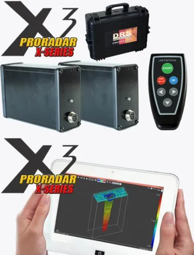
Closely named entries such as ProRadar X3 and Pro Radar X-3 may appear in the catalogue. Treating them as identical packages, or ranking them as different generations, requires additional information. Compare the device label, software version and accessory list. If one offer contains more components, ask which operation uses each component. A larger accessory count does not automatically make a package more useful for your work.
Use a consistent area plan during a comparison. If line count, direction or sampling layout differs between devices, record the difference. Otherwise, apparent image detail may reflect collection density rather than a difference between models. Assess the records for the same objective: locating an indication, examining variation across an area and retaining data for later analysis are related but distinct requirements.
DRS 3D Stealth Scanner and water investigation options
When assessing DRS 3D Stealth Scanner Underground Imaging, concentrate on how the sensor is carried, how recording begins and how the data enter the viewing software. Neither the housing nor the term “3D” explains the collection process. Watch the relationship between sensor movement and the growing record, then check that the completed file can be reopened. This makes the operating sequence easier to evaluate.
ARS Water System should be considered separately according to its stated water-investigation purpose. Before comparing it with imaging models, establish the measurement used and the output provided. An indication from one method should not be treated as a conclusive result from another. Defining the research objective early also avoids spending time comparing products intended for different tasks.
| Survey detail | How to record it | What it helps explain |
|---|---|---|
| Starting corner | Mark it on a sketch | Image orientation in the real area |
| Line length | Measure and note it | The meaning of horizontal scale |
| Line progression | Record one-way or return pattern | The correct order of rows |
| Stops and obstacles | Associate them with line numbers | Possible recording irregularities |
Survey lines and step spacing in DRS imaging
Collection geometry determines how a displayed map relates to the ground. After choosing an origin, plan the direction and spacing of the lines. If measurements are associated with steps, consistency of the step pattern matters. If recording is automatic, follow the walking procedure specified for that mode. Do not combine the instructions for these two arrangements as though they were interchangeable.
For example, walking around an obstacle can lengthen the actual path. If the software expects a straight line, the difference between that expectation and the movement on the ground may complicate horizontal positioning. Follow the relevant model's procedure for interrupted or incomplete measurements and note the event. In some workflows, recording a smaller accessible area separately may produce a clearer dataset than forcing a single large survey around several obstacles.
For an initial trial, choose a manageable area whose layout can be followed easily. Mark completed lines and establish the next starting point before moving. Preserve the first file when repeating the area. A second measurement helps assess whether a feature remains in the same position. Applying a new colour palette to the first file cannot provide that repeatability check.
Field notes become especially valuable when the reviewer did not collect the data. Include the area dimensions, starting direction, sensor identity and unusual events with the file. This makes it easier to discuss whether a line or spread visible in the software corresponds to the actual area. Without those notes, an attractive image cannot repair missing information about how the measurements were obtained.
DRS underground imaging prices
Compare DRS prices together with the main unit, sensor, connecting parts, software and viewing device. A package with a computer has a different scope from one requiring the user's existing hardware. Do not assume identical accessories merely because two offers use the same model name. Open the product card for the current listed price and record it alongside the delivery contents.
Software installation and file compatibility deserve particular attention when equipment comes from different production periods. Demonstrating a new record on your intended operating system is more informative than a broad compatibility statement. Establish whether licences, drivers or connection equipment are required and how they are supplied. A useful inspection includes saving and reopening a fresh file, not just switching the device on.
When assessing instruction or support, ask how much attention is given to survey layout. Learning the controls is different from collecting a consistent area record. A user who can complete a small survey and explain its orientation has a clearer basis for estimating further learning. Budget around those practical steps rather than expecting a fixed training time to produce expertise in every ground condition.
Selecting the best DRS imaging model for your application
The appropriate DRS model is one whose survey arrangement you can operate, whose files you can retain and whose data you can review again. Transport, sensor handling and screen position can matter during longer sessions. Where possible, assess these details through a trial you perform yourself. Working alone and working as a team may place different demands on the same equipment.
The main underground imaging systems category provides a starting point for comparing systems. Within DRS, resolve the exact version first and then apply the same recording scenario to each candidate. A three-dimensional shape is a processed representation of measured variation. It should not, by itself, be treated as conclusive identification of material or structure. Including that interpretation limit in the selection process produces more realistic expectations.
Keep a small reference dataset from your first properly documented trial. Later, it can help check whether a software installation still opens the file correctly and whether display settings have changed. Its value comes from knowing the original collection arrangement, not from assuming the test represents every future site. This is particularly useful when several people share the equipment or review records on different computers.
Frequently Asked Questions (FAQ)
Is DRS X5 always more suitable than X1?
No. Compare the exact version, sensor, workflow and investigation objective rather than the number alone.
Does the X1 Pro manual apply to every X1?
Confirm the hardware and version match before using it as the operating reference.
Can I walk around an obstacle during a scan?
A changed path can affect survey geometry. Follow the model's interrupted-measurement procedure and document the event.
Is a computer included with DRS imaging equipment?
Check the delivery list and software requirements for the particular package.
Should ARS Water System be assessed like every other DRS model?
Its water-investigation purpose and measurement method need a separate assessment.